Countrywide, the week ahead is forecast to be warm, dry and sunny.
Monday is forecast to be another dry and mostly sunny day with some high cloud and hazy conditions, according to Met Éireann.
It will become very warm as temperatures reach 20°C to 27°C, again slightly cooler near coasts due to onshore sea breezes.
High pressure and settled conditions will persist throughout the coming week, with warm, dry and sunny conditions countrywide.
Dry and mostly sunny conditions by day are forecast from Tuesday to Friday inclusive, with daytime highs rising into the mid to high 20s quite widely.
Met Éireann has said it will be fresher near coasts with afternoon sea breezes. The nights will be warm also, with minimum temperatures in the low to mid-teens.
High pressure weakening
There are indications from Met Éireann that the influence of high pressure will weaken from around next Saturday onwards, with an increasing threat of Atlantic frontal systems encroaching from the northwest. Thundery outbreaks could also move up from the south, though the exact details of such events are highly uncertain at this stage.
Farming forecast
Most of the country has been drier than normal, with the south and east receiving less than 5mm of rain in the past week.
As high pressure will dominate the coming week, there is no rainfall expected anywhere.
Daytime temperatures will get into the warm/very warm to hot category by midweek.
Drying and spraying
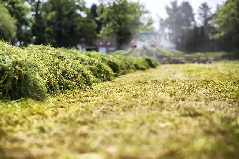
Drying conditions will be good to very good overall, with high pressure dominating, bringing high temperatures with light to slack winds and no rain.
The conditions over the next week will provide many opportunities for spraying, though Met Éireann has warned that high temperatures and intense sunshine pose a risk of leaf scorch damage.
Field conditions
Met Éireann data shows that soil moisture deficits currently range from around 20mm to 30mm in the northwest.
However, there are drought or near-drought conditions over Leinster, with soil moisture deficits of 65mm to 80mm, while elsewhere grass growth is increasingly restricted.
With high temperatures forecast for the week ahead, Met Éireann has warned that growth will become even more restricted countrywide, with drought or near drought conditions becoming more prevalent over Leinster and east Munster. Soil moisture deficits will range from 70mm to 85mm.
Human health and animal health: precautions and regular checking of animals is advised with the increased temperatures over the coming week.Animal transportation: there are a number of factors that should be kept in mind when transporting livestock.Silage and topping: an increasing soil moisture deficit is starting to hit growth and yield in second-cut crops. Should these crops be cut or left to bulk up?Meal supplementation: your options to conserve grass supplies.Water advice: water intake will be much higher next week, so it is important to ensure that facilities can deal with increased demand.
Countrywide, the week ahead is forecast to be warm, dry and sunny.
Monday is forecast to be another dry and mostly sunny day with some high cloud and hazy conditions, according to Met Éireann.
It will become very warm as temperatures reach 20°C to 27°C, again slightly cooler near coasts due to onshore sea breezes.
High pressure and settled conditions will persist throughout the coming week, with warm, dry and sunny conditions countrywide.
Dry and mostly sunny conditions by day are forecast from Tuesday to Friday inclusive, with daytime highs rising into the mid to high 20s quite widely.
Met Éireann has said it will be fresher near coasts with afternoon sea breezes. The nights will be warm also, with minimum temperatures in the low to mid-teens.
High pressure weakening
There are indications from Met Éireann that the influence of high pressure will weaken from around next Saturday onwards, with an increasing threat of Atlantic frontal systems encroaching from the northwest. Thundery outbreaks could also move up from the south, though the exact details of such events are highly uncertain at this stage.
Farming forecast
Most of the country has been drier than normal, with the south and east receiving less than 5mm of rain in the past week.
As high pressure will dominate the coming week, there is no rainfall expected anywhere.
Daytime temperatures will get into the warm/very warm to hot category by midweek.
Drying and spraying
Drying conditions will be good to very good overall, with high pressure dominating, bringing high temperatures with light to slack winds and no rain.
The conditions over the next week will provide many opportunities for spraying, though Met Éireann has warned that high temperatures and intense sunshine pose a risk of leaf scorch damage.
Field conditions
Met Éireann data shows that soil moisture deficits currently range from around 20mm to 30mm in the northwest.
However, there are drought or near-drought conditions over Leinster, with soil moisture deficits of 65mm to 80mm, while elsewhere grass growth is increasingly restricted.
With high temperatures forecast for the week ahead, Met Éireann has warned that growth will become even more restricted countrywide, with drought or near drought conditions becoming more prevalent over Leinster and east Munster. Soil moisture deficits will range from 70mm to 85mm.
Human health and animal health: precautions and regular checking of animals is advised with the increased temperatures over the coming week.Animal transportation: there are a number of factors that should be kept in mind when transporting livestock.Silage and topping: an increasing soil moisture deficit is starting to hit growth and yield in second-cut crops. Should these crops be cut or left to bulk up?Meal supplementation: your options to conserve grass supplies.Water advice: water intake will be much higher next week, so it is important to ensure that facilities can deal with increased demand. 


 This is a subscriber-only article


SHARING OPTIONS: