Monday
Today will begin mostly cloudy though a little hazy sunshine may occur for a time in the east. According to Met Éireann, other than scattered patches of drizzle or light rain mainly near west coasts and on hills, most areas will be dry. It will stay overcast through the afternoon and evening. After a cool start, temperatures will recover ranging 8°C to 12°C.
Tonight will become quite windy with freshening southerly breezes. It will be predominantly dry but there will be a few patches of rain and drizzle about. Minimum temperatures of 5 to 9°C.
Tuesday
Tuesday will see a dry day in many central and eastern counties. Rain will extend across most of Munster and Connaught by the afternoon. Rain will then gradually spread eastwards during the evening with some heavy bursts possible. Highest temperatures of 10°C to 13°C in moderate to fresh south to southeast winds.
Wednesday
Rain and drizzle may linger across parts of east Leinster and Ulster on Wednesday but it will be largely dry elsewhere. However, another band of rain will reach the southwest coast by evening. This rain will extend nationwide on Wednesday night. Highest temperatures of 7 to 10°C.
Thursday and Friday
There remains uncertainty in the forecast detail for the end of the week but it looks set to stay unsettled.
Rain
The last part of November and beginning of December were wet and this is reflected in the rainfall figures. Totals for the past two weeks are above normal almost everywhere. They were over twice the average values across the southern half of the country.
For most places it will continue to remain wet in the week ahead with only the northwest having slightly less than anticipated normal levels. The southwest of Ireland will again be the wettest part of Ireland with rainfall amounts close to 100mm expected.
Temperatures
Apart from the northwest of the country where temperatures were fractionally less than normal, all parts were positive by around a degree or so. This trend for positive mean temperatures will continue for the next week.
Sunshine will continue to be close to normal for the time of year with weekly totals of around five to 12 hours.
Conditions
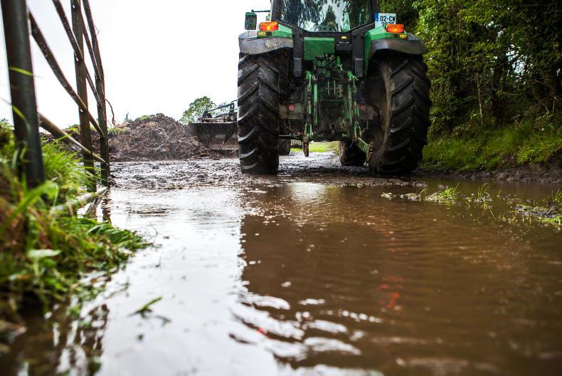
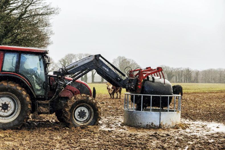
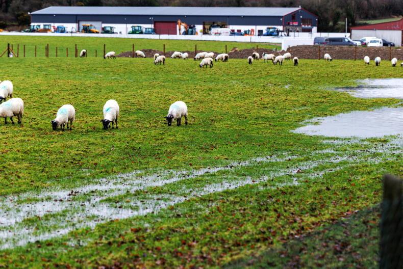
Drying conditions will be poor overall and opportunities for spraying will be very limited, if any. Given the high volumes of rain, land is very wet with many soils waterlogged.
Read more
Long read: northern exposure – sheep farming on the edge of Ireland
Higher feed bills add to on-farm pressures


SHARING OPTIONS