A status red wind warning has been issued for counties Galway and Clare between 1pm and 6pm on Saturday as a result of storm Jorge.
"Very severe winds" associated with the storm are forecast on Saturday.
Westerly winds will reach mean speeds of 85 to 100km/h in places on Saturday afternoon with gusts of 130 to 145km/h, with an elevated risk of coastal flooding, Met Éireann warned.
Met Éireann has also upgraded storm Jorge to a status orange for Leinster, Cavan, Monaghan, Roscommon, Cork, Limerick, Tipperary and Waterford on Saturday.
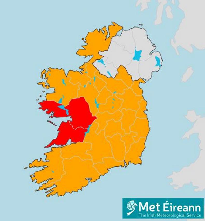
Storm Jorge - a status red wind warning is in place for Galway and Clare, with the rest of the country under an orange warning.
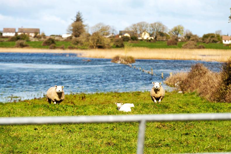
Farmers are advised to take care and make preparations for heavy rain across the weekend.
Saturday
Snow and sleet will likely fall over parts of Ulster on Saturday, with heavy rain also expected.
Counties Donegal, Leitrim, Sligo, Galway, Mayo, Clare and Kerry have all also been issued with a status orange weather warning.
“Severe winds” will reach mean speeds of 65km/h to 80km/h, with gusts of between 110km/h and 130km/h expected.
Westerly winds will reach mean speeds of 65 to 80km/h for a time
Met Éireann has warned that gusts could possibly be higher in very exposed areas, with an elevated risk of coastal flooding.
For Galway, Mayo, Clare and Kerry the orange warning comes into effect from 6am on Saturday and will remain in place until 3am on Sunday.
For Donegal, Leitrim and Sligo, the wind warning comes into effect from 12pm on Saturday.
The status orange warning in effect for Leinster, Cavan, Monaghan, Roscommon, Cork, Limerick, Tipperary and Waterford will last from 1pm to 7pm on Saturday.
"Severe winds associated with Storm Jorge (Hor-hay) on Saturday," Met Éireann said.
"Westerly winds will reach mean speeds of 65 to 80km/h for a time on Saturday afternoon and early evening with gusts of 110 to 120km/h, possibly higher in very exposed areas."
The wind warning is downgraded to a status yellow from 7pm to just before midnight on Sunday.
Sunday
There is a risk of hail and thunder on Sunday, with some bright spells, but mainly wintry showers.
Temperatures will dip to -1°C in some places, with cool southwesterly winds.
Next week
It will likely be cold and frosty for parts of the week, with wintry showers in the west and north of the country.
Some snow and sleet are expected on higher patches of ground.
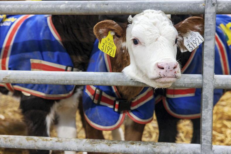
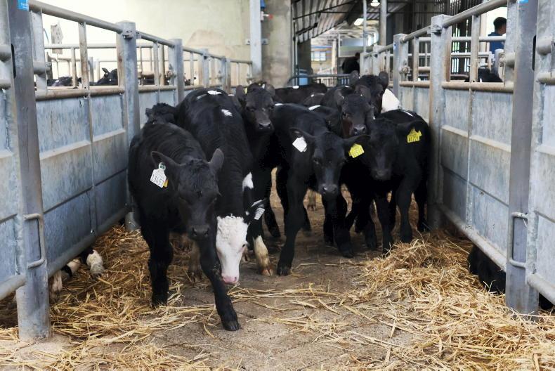
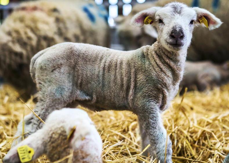
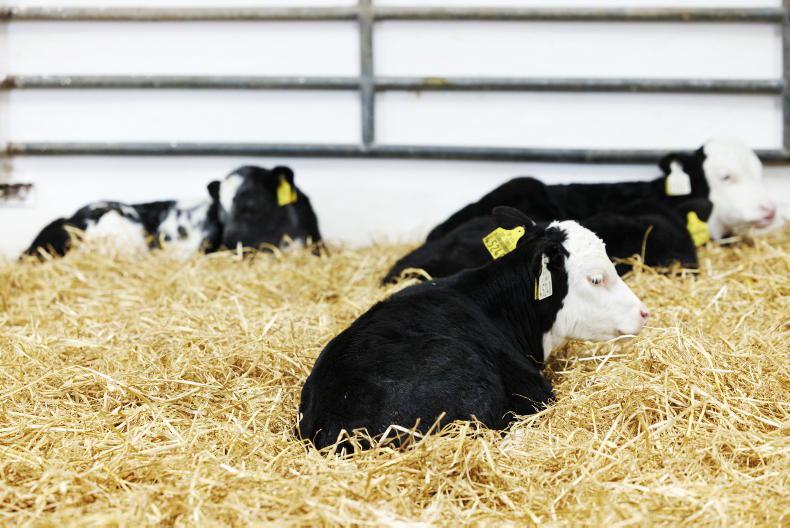
Beef: Adam Woods offers some advice to farmers dealing with the current weather conditions, including keeping calves healthy, flooded yards and using the mart trade as an opportunity.Dairy: Aidan Brennan comments on the weather, how to deal with full slurry tanks and how to manage feed for milking cows.Sheep: Colostrum is often referred to as liquid gold, which is backed up by extensive research and the fact that it is vital to giving lambs the best possible start.Tillage: While planting and fertilisation should now be taking place, heavy rain continues to prevent these jobs from going ahead all around the country. Read more
Coronavirus could become a trade issue – Bord Bia chief
Farmers advised to store fallen animals as knackeries strike
IFA calls for farmyard relocation scheme and fodder clinics
Larry Goodman appoints former Glanbia boss to ABP board
A status red wind warning has been issued for counties Galway and Clare between 1pm and 6pm on Saturday as a result of storm Jorge.
"Very severe winds" associated with the storm are forecast on Saturday.
Westerly winds will reach mean speeds of 85 to 100km/h in places on Saturday afternoon with gusts of 130 to 145km/h, with an elevated risk of coastal flooding, Met Éireann warned.
Met Éireann has also upgraded storm Jorge to a status orange for Leinster, Cavan, Monaghan, Roscommon, Cork, Limerick, Tipperary and Waterford on Saturday.
Storm Jorge - a status red wind warning is in place for Galway and Clare, with the rest of the country under an orange warning.
Farmers are advised to take care and make preparations for heavy rain across the weekend.
Saturday
Snow and sleet will likely fall over parts of Ulster on Saturday, with heavy rain also expected.
Counties Donegal, Leitrim, Sligo, Galway, Mayo, Clare and Kerry have all also been issued with a status orange weather warning.
“Severe winds” will reach mean speeds of 65km/h to 80km/h, with gusts of between 110km/h and 130km/h expected.
Westerly winds will reach mean speeds of 65 to 80km/h for a time
Met Éireann has warned that gusts could possibly be higher in very exposed areas, with an elevated risk of coastal flooding.
For Galway, Mayo, Clare and Kerry the orange warning comes into effect from 6am on Saturday and will remain in place until 3am on Sunday.
For Donegal, Leitrim and Sligo, the wind warning comes into effect from 12pm on Saturday.
The status orange warning in effect for Leinster, Cavan, Monaghan, Roscommon, Cork, Limerick, Tipperary and Waterford will last from 1pm to 7pm on Saturday.
"Severe winds associated with Storm Jorge (Hor-hay) on Saturday," Met Éireann said.
"Westerly winds will reach mean speeds of 65 to 80km/h for a time on Saturday afternoon and early evening with gusts of 110 to 120km/h, possibly higher in very exposed areas."
The wind warning is downgraded to a status yellow from 7pm to just before midnight on Sunday.
Sunday
There is a risk of hail and thunder on Sunday, with some bright spells, but mainly wintry showers.
Temperatures will dip to -1°C in some places, with cool southwesterly winds.
Next week
It will likely be cold and frosty for parts of the week, with wintry showers in the west and north of the country.
Some snow and sleet are expected on higher patches of ground.
Beef: Adam Woods offers some advice to farmers dealing with the current weather conditions, including keeping calves healthy, flooded yards and using the mart trade as an opportunity.Dairy: Aidan Brennan comments on the weather, how to deal with full slurry tanks and how to manage feed for milking cows.Sheep: Colostrum is often referred to as liquid gold, which is backed up by extensive research and the fact that it is vital to giving lambs the best possible start.Tillage: While planting and fertilisation should now be taking place, heavy rain continues to prevent these jobs from going ahead all around the country. Read more
Coronavirus could become a trade issue – Bord Bia chief
Farmers advised to store fallen animals as knackeries strike
IFA calls for farmyard relocation scheme and fodder clinics
Larry Goodman appoints former Glanbia boss to ABP board


SHARING OPTIONS