

Met Éireann has issued additional weather warnings in the wake of Storm Ellen. A yellow weather warning is in place for all of Ireland, valid from 9am this morning, Thursday.
Heavy squally downpours and thunderstorms are on the way which will bring a risk of spot flooding at times today and tonight. The alert is valid until 5am on Friday morning.
Very windy today with bright spells and heavy showers, merging to give longer spells of rain at times, with thunderstorms and spot flooding. Maximum temperatures 16 to 19 degrees.https://t.co/9gKN6SVok4 pic.twitter.com/pSRdhxQD8w
ADVERTISEMENT— Met Éireann (@MetEireann) August 20, 2020
Wind alert
Meanwhile, a yellow wind alert has been issued for Dublin, Louth, Wexford, Wicklow, Meath, Cork, Kerry and Waterford.
Very strong south to southeast winds are forecast for later today, veering southwesterly overnight with a continued risk of coastal flooding. The alert is valid from 5pm on Thursday until 5am Friday morning.
Last night
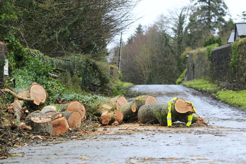
Storm Ellen hit Irish shores on Wednesday night, bringing gale force winds and in the early hours of this morning, caused significant damage to the electricity network. Met Éireann had a red storm alert in place for Co Cork.
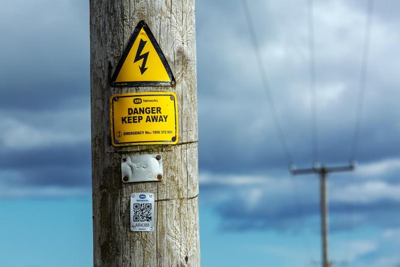
According to ESB Networks, the damage is widespread, affecting more than 194,000 homes, farms and businesses.
Approximately 40,000 homes, farms and businesses in Cork are without power. The damage is mainly attributable to fallen trees on overhead lines as a result of the high winds.
Was your farm or local area hit by storm Ellen? You can send us in your photos of storm damage below.


SHARING OPTIONS