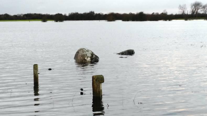
Farmers in the Cloonown area have lived with flooding all their lives, it’s a common occurrence, particularly in summer. However, the flooding of 2009 and now 2015 has been more severe than ever before.
“Water is heading up on 2009 levels already and probably going to rise further,” said John Claffey, a dairy farmer from Shannonbridge. “Farmyards are flooded, hay and silage is destroyed. It’s an environmental disaster as well – slurry tanks are filling with water, yards and roads are impassable.”
Claffey is the secretary of the Shannon Flood Committee in the IFA. He recently met with ESB officials who are monitoring the water levels on a constant basis.
“From the ESB projections on Lough Ree, we are going to surpass 2009 levels by six to nine inches,” said Claffey. “The water is going to cover 20% to 30% more ground than is covered already. Lough Derg is at a level where they have to spill more and more water over Parteen weir and there is 400t of water going through the turbines per second. Limerick is going to flood, but Lough Ree is going to keep rising.”
Listen to an interview with John Claffey in our podcast below:
Water levels at Ardnacrusha have to be carefully maintained by the ESB because of the canal banks that feed the dam. If the water gets too high they are in danger of bursting out and if they are too low they could collapse in.
According to Claffey, the ESB said “the water isn’t coming down to them fast enough. They know it is being held up in the middle section of the Shannon and Lough Ree. It’s the middle section of the Shannon causing the problem, especially from Banagher down. This section must be restored to the level it was once at. Islands that are there now weren’t there 30 or 40 years ago. They are impediments to the flow of the river.”
Shannon flooding

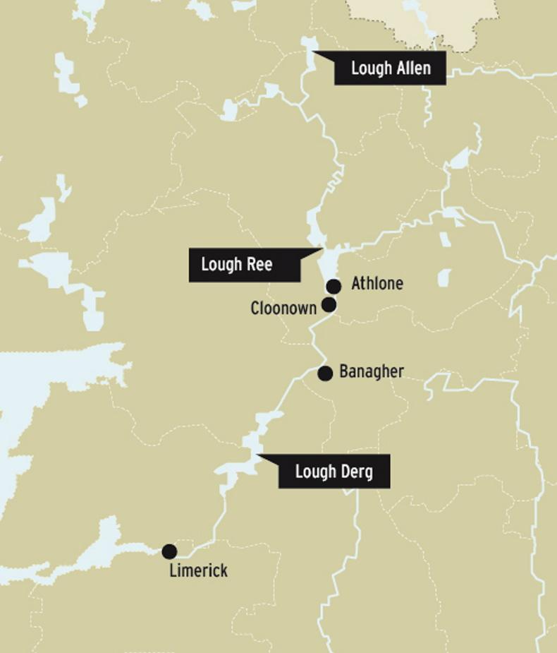
The map above shows the Shannon and three main lakes. Between Lough Ree and Lough Derg is where flooding has already occurred.
The Shannon drains 20% of land in Ireland and the farmers who live and work in the Callows believe there has not been enough work done to maintain it over the years.
“Until there is dredging and clearing done, flooding will continue to be a problem,” said Claffey. “A farmer was telling me that when he goes out fishing on the Shannon the propellor on the boat acts like an agitator in a slurry tank. The water is so shallow, we’re talking three to four feet. It used to be 20 to 25ft, and there were salmon hatching grounds in it. The habitat for freshwater fish that was there is gone.
“Most of this damage has come from Bord na Mona. All the bogs that drain into the Shannon and the surrounding area acted like sponges that absorbed the water. Now they’re not there anymore. That buffer ground is gone and water is going in faster than ever before.”
Meelick weir
An aerial video from Ecofact shows Meelick weir in October 2015. Claffey points out that the grass islands seen all along the weir are impeding flow of water and not allowing it to move down river.
“Those patches are only the tip of the iceberg,” said Claffey. “The real problem is under the surface of the water where silt and clay has built up to allow grass to grow.”


 This is a subscriber-only article


SHARING OPTIONS: