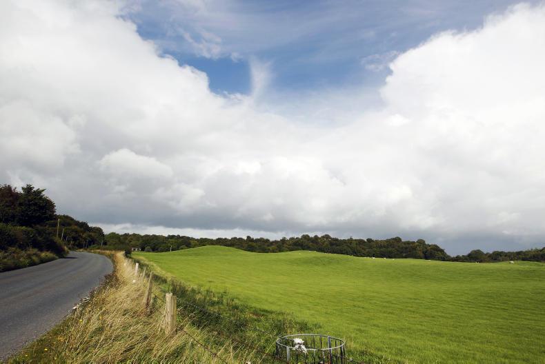
According to Met Éireann, the seven-day rainfall totals for last week are now up to 250% of the usual for the time of year. This translates to between 50mm and 75mm of rainfall. The weather for the coming week will continue unsettled and the country will see higher than usual amounts for the west and northwest, with up to 200% of the normal expected in Donegal.
However, the southeast, east and the east midlands will see lower than usual falls for the time of year, a relief to those currently suffering from the flooding instigated by Storm Desmond.
According to the ESB, which is monitoring water levels in the worst-affected parts of the country, the River Shannon continued to rise on Sunday 13 December and the flow of water through the Parteen Weir increased to 440 cubic metres per second. This level of water flow is likely to lead to increased flooding of roads, land and property in the vicinity of the Shannon downstream of Parteen Weir, including the areas of Springfield, Montpelier, Castleconnell, Mountshannon and the University of Limerick.
Looking to the week ahead, Monday will see heavy rain at times in south Munster and another band of rain will arrive in the southwest by evening. Tuesday will start mainly dry, but rain will soon develop again in the southwest and then spread to all parts during the morning and early afternoon. However, it will become drier in the west and south during the afternoon.
Wednesday will be mostly cloudy, but dry for much of the day, while Thursday will see occasional rain. Friday and the weekend will see continuing mild and unsettled weather, with occasional rain and strong winds.
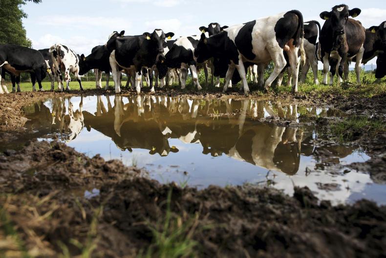
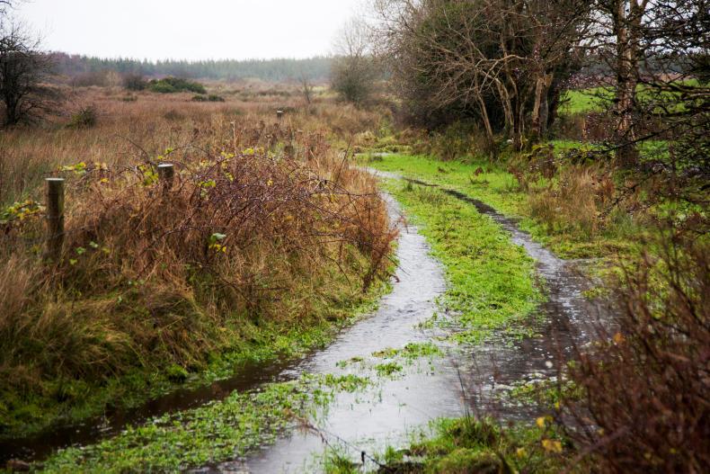
Due to the rising of various rivers around the country, lands are now either saturated, waterlogged or flooded. Met Éireann says very little improvement is expected, with the situation in many southern and western areas due to deteriorate as the water feeds slowly through river systems. As a result there will be little if any opportunity for spraying in the coming week.
Mean air temperatures for the past week were just above normal everywhere by between 0.5°C and 1.5°C. That translates to mean temperatures of between 6°C and 10°C approximately. This coming week, the mean temperature difference for the time of year is going to be much higher - a positive anomaly of up to 5°C or 6°C expected. This is due to the fact that the nights will be very mild for the time of year, with little difference to note between daytime and nighttime temperatures. Mean soil temperatures are still above normal by up to 2.5°C and will continue above normal for the time of year for the coming week.
With such a wet week gone by, it is no surprise that there was little sunshine in most parts of the country. Met Éireann says all areas were generally dull. Parts of the north and west coast reached about 50% of normal sunshine hours for early December. Met Éireann predicts that the coming week might not be quite as dull overall, but the ongoing unsettled pattern will make it difficult for normal sunshine hours to be attained.
Read more
Full coverage: Storm Desmond flooding
What to do with silage in flooding
According to Met Éireann, the seven-day rainfall totals for last week are now up to 250% of the usual for the time of year. This translates to between 50mm and 75mm of rainfall. The weather for the coming week will continue unsettled and the country will see higher than usual amounts for the west and northwest, with up to 200% of the normal expected in Donegal.
However, the southeast, east and the east midlands will see lower than usual falls for the time of year, a relief to those currently suffering from the flooding instigated by Storm Desmond.
According to the ESB, which is monitoring water levels in the worst-affected parts of the country, the River Shannon continued to rise on Sunday 13 December and the flow of water through the Parteen Weir increased to 440 cubic metres per second. This level of water flow is likely to lead to increased flooding of roads, land and property in the vicinity of the Shannon downstream of Parteen Weir, including the areas of Springfield, Montpelier, Castleconnell, Mountshannon and the University of Limerick.
Looking to the week ahead, Monday will see heavy rain at times in south Munster and another band of rain will arrive in the southwest by evening. Tuesday will start mainly dry, but rain will soon develop again in the southwest and then spread to all parts during the morning and early afternoon. However, it will become drier in the west and south during the afternoon.
Wednesday will be mostly cloudy, but dry for much of the day, while Thursday will see occasional rain. Friday and the weekend will see continuing mild and unsettled weather, with occasional rain and strong winds.
Due to the rising of various rivers around the country, lands are now either saturated, waterlogged or flooded. Met Éireann says very little improvement is expected, with the situation in many southern and western areas due to deteriorate as the water feeds slowly through river systems. As a result there will be little if any opportunity for spraying in the coming week.
Mean air temperatures for the past week were just above normal everywhere by between 0.5°C and 1.5°C. That translates to mean temperatures of between 6°C and 10°C approximately. This coming week, the mean temperature difference for the time of year is going to be much higher - a positive anomaly of up to 5°C or 6°C expected. This is due to the fact that the nights will be very mild for the time of year, with little difference to note between daytime and nighttime temperatures. Mean soil temperatures are still above normal by up to 2.5°C and will continue above normal for the time of year for the coming week.
With such a wet week gone by, it is no surprise that there was little sunshine in most parts of the country. Met Éireann says all areas were generally dull. Parts of the north and west coast reached about 50% of normal sunshine hours for early December. Met Éireann predicts that the coming week might not be quite as dull overall, but the ongoing unsettled pattern will make it difficult for normal sunshine hours to be attained.
Read more
Full coverage: Storm Desmond flooding
What to do with silage in flooding


SHARING OPTIONS