After continued and prolonged periods of heavy rain in September, the first week of October is forecast to be drier according to Met Éireann. Although there will be some rain midweek.
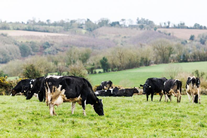
As much as 120mm of rain fell in some areas as the country suffered an exceptionally wet September.
However, there appears to be more of a settled period on the way.
Monday will be mostly dry, although there is a risk of a shower over the north and northeast. Counties in the south will see heavy cloud build which could lead to a shower or two in the afternoon. Top temperatures will range from 13°C to 15°C.
ADVERTISEMENT
On Tuesday, high pressure will start to build, giving a dry and bright day for everyone.
Top temperatures will range from 12°C to 14°C.
However, on Wednesday a ridge of rain will spread from the Atlantic, bringing heavy rain for a time, mainly over northern counties.
Temperatures on Wednesday will reach a maximum of 16°C, with overnight temperatures dropping to 10°C.
By Thursday, the rain will have cleared and it will leave a dry and bright day for most. There is a risk of some fog for a time on Thursday morning.
Looking at Friday and the weekend, early indications suggest it will remain dry but it will get colder during the day. Temperatures are forecast to reach no higher than 11°C.
This content is available to digital subscribers and loyalty code users only. Sign in to your account, use the code or subscribe to get unlimited access.
The reader loyalty code gives you full access to the site from when you enter it until the following Wednesday at 9pm. Find your unique code on the back page of Irish Country Living every week.
CODE ACCEPTED
You have full access to the site until next Wednesday at 9pm.
CODE NOT VALID
Please try again or contact support.
As much as 120mm of rain fell in some areas as the country suffered an exceptionally wet September.
However, there appears to be more of a settled period on the way.
Monday will be mostly dry, although there is a risk of a shower over the north and northeast. Counties in the south will see heavy cloud build which could lead to a shower or two in the afternoon. Top temperatures will range from 13°C to 15°C.
On Tuesday, high pressure will start to build, giving a dry and bright day for everyone.
Top temperatures will range from 12°C to 14°C.
However, on Wednesday a ridge of rain will spread from the Atlantic, bringing heavy rain for a time, mainly over northern counties.
Temperatures on Wednesday will reach a maximum of 16°C, with overnight temperatures dropping to 10°C.
By Thursday, the rain will have cleared and it will leave a dry and bright day for most. There is a risk of some fog for a time on Thursday morning.
Looking at Friday and the weekend, early indications suggest it will remain dry but it will get colder during the day. Temperatures are forecast to reach no higher than 11°C.
If you would like to speak to a member of our team, please call us on 01-4199525.
Link sent to your email address
We have sent an email to your address. Please click on the link in this email to reset your password. If you can't find it in your inbox, please check your spam folder. If you can't find the email, please call us on 01-4199525.
ENTER YOUR LOYALTY CODE:
The reader loyalty code gives you full access to the site from when you enter it until the following Wednesday at 9pm. Find your unique code on the back page of Irish Country Living every week.


SHARING OPTIONS