Monday will be close and humid. It will stay misty along the southwest and south coasts and on high ground elsewhere, with some patches of drizzle and fog at times. But it will dry out in most other areas, with some sunny breaks developing locally.
However, the drizzle and fog will tend to become more widespread over Connacht and parts of Munster later on Monday afternoon and evening. Top temperatures 18°C to 24°C.
Tuesday will also be close and humid. It will be a misty, damp start in many places, but these will dry out gradually with some breaks in cloud developing, allowing some hazy sunshine to come through.
However, patches of fog and drizzle will linger on hills and exposed coasts. Top temperatures 19°C to 23°C.
It will be close and humid once again on Wednesday. However, there will also be some patches of fog and drizzle, these mainly on parts of the south and west coasts. But it will be drier elsewhere, with some bright or sunny spells developing. Top temperatures 18°C to 20°C, generally, but up to 22°C in any sunny breaks.
Wednesday afternoon and night, however, will see a spell of heavy and possibly thundery rain develop over the south and west of the country. It will get breezy also.
It will turn much fresher on Thursday, Friday and Saturday, with temperatures in the mid to high teens at best. However, it will also be quite unsettled and changeable, with some heavy falls of rain likely.
According to Met Éireann's farming forecast, rainfall amounts were below average in most parts of the country during the past week, with many places recording less than 50% of normal amounts for the transition from summer to autumn. However, widespread frontal rain and subsequent heavy showers over the weekend, especially Saturday, resulted in aggregate totals in the southeast and east of the country coming in at between 125% and 200% of normal.
In the coming seven days, there will be a lot of variation in rainfall distribution across the country. The southwest, west and northwest will be the wettest places with between 150% and 200% of normal accumulations likely there. Many other parts of the country will record near normal amounts for the week but a few areas, such as southeast Ulster, much of Leinster and inland parts of Munster, may only accumulate amounts of the order of 50% to 75% of normal.
Temperatures
Mean air and soil temperatures are above normal at present, air by about 2°C and soil by between 1.5°C and 2.5°C. These values are likely to increase further during the course of the coming week.
Drying and spraying
Drying conditions will be variable for much of the coming week, with the eastern half of the country probably faring best as regards good drying.
Spraying will be hampered occasionally by breezy and damp weather but favourable conditions will arise from time to time.
Field conditions
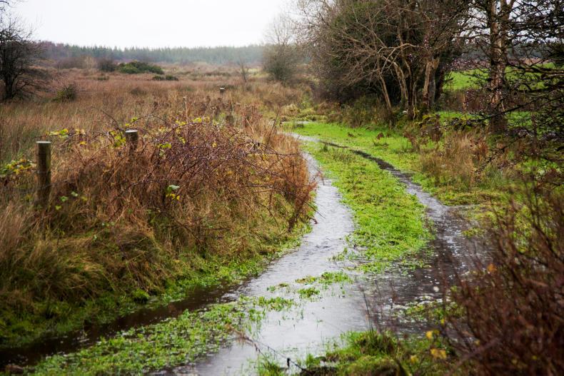
All poorly drained soils are saturated and will remain so for at least the next week. Moderately drained soils will vary between saturation and good trafficability depending on rainfall in the coming days. Even some well drained lands are near saturation at the moment but will improve in the days ahead.


SHARING OPTIONS