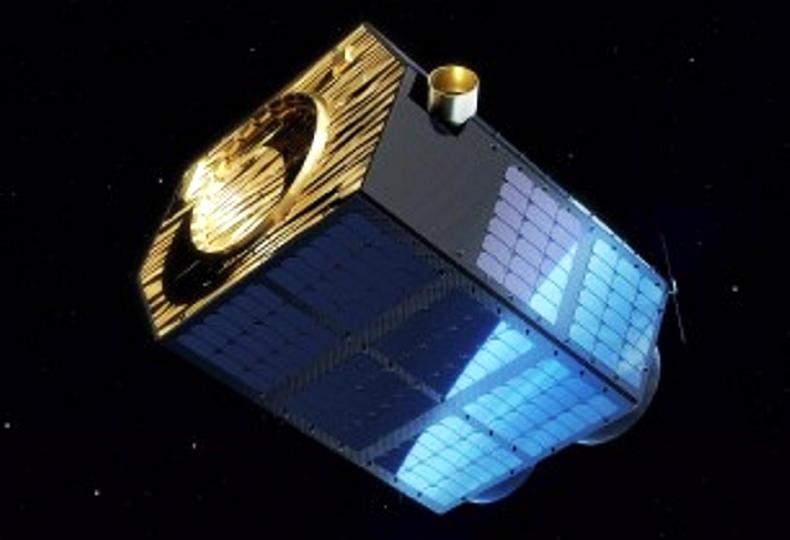
The first dedicated satellite imaging network for use in agriculture is due to be operational in 2024.
Satellite imagery analytics provider EOS Data Analytics (EOSDA) is planning to launch seven optical EOS SAT satellites into a low earth orbit.
The seven satellites will form a “constellation” and will be used to monitor agricultural land all over the world.
This will make the project the first of its kind dedicated towards agriculture.
With the new satellite imaging constellation, the company aims to establish a full satellite data production service available to farmers – from direct imagery collection to processing, analysis and delivery.
The project is divided into three stages: 2022, 2023, and 2024. The first satellites are projected to launch in early 2022, with subsequent updates in the following years.
Features
The EOSDA farming platform will include other features such as crop health monitoring, crop classification, growth comparison, soil moisture estimation and weather prediction.
The constellation will allow for a three day revisit time all around the globe. Each satellite is designed for a five-year work span.
The satellites system will also allow:
Near-real-time data with five to seven more frequent satellite fly-over times per week.Image resolutions two to eight times higher than commonly used for agri-monitoring satellites.Proprietary data for in-house agriculture models to increase processing speed.Exclusive image rights for specific areas.The EOS SAT satellites will feature 1.4 m panchromatic and 2.8m multispectral Ground Sample Distance (resolution), 11 band channels, and a swath width of up to 40km.


SHARING OPTIONS