Knocknarea (327m/1,073ft) is the prominent hill that rises as a solitary pudding-shaped mass from the plains of Strandhill in Co Sligo. The Irish, Cnoc na Riabh, translates as hill of the stripes. It is also known by many locals simply as Cnoc na Rí, or hill of the king. However, it is not a king, but an ancient queen who would forever be remembered on this large, rocky summit, which offers sensational views in all directions.
Queen Maeve’s Cairn
A lane, flanked by drystone walls and fields, leads uphill on the left of the car park. Follow the stony lane northwestwards as it rises gradually to meet a rusted metal gate around 750m away. Go through a swinging metal gate to the right of the larger gate.
Beyond the gate, a grassy and stony path leads uphill, with fences to the left. At the fence corner, turn left to contour under Knocknarea’s eastern slopes for around 500m, keeping the fence to your left until reaching the next corner at G 62799 33996.
Next, ascend grassy and heathery slopes to reach the top of the spur, just south of the summit. A sweeping panorama extends to the south across Ballysadare Bay, towards the Ox Mountains and beyond. On the spur, veer north and continue until arriving at a large rocky mound at G 62572 34593, with a small pile of rock on top marking the summit of Knocknarea.
The mound was built probably 6,000 years ago and is called Miscaun Meadbh or Maeve’s mound. Queen Maeve of Connaught is said to be entombed in the cairn in an upright position, dressed for battle and facing her Ulster enemies.
From the burial mound at the summit, it is worth walking north for around 250m to a shoulder at G 62544 34802, for impressive views across Sligo Harbour and the stretch of hills dominated by Benbulbin beyond.
It is said that there might be a passage grave here, but no excavations are known to have been carried out so far.
This location was also where the late Joss Lynam’s ashes were scattered on a cold and windy afternoon on 12 February 2011. Joss was a founder member of the Irish Mountaineering Club in 1948 and is known to many for his guidebooks.
Having enjoyed the views on the northern shoulder, retrace steps back to the large summit cairn, and then descend using the main path off the summit on its eastern end. The path leads back down to the car park at the start. CL
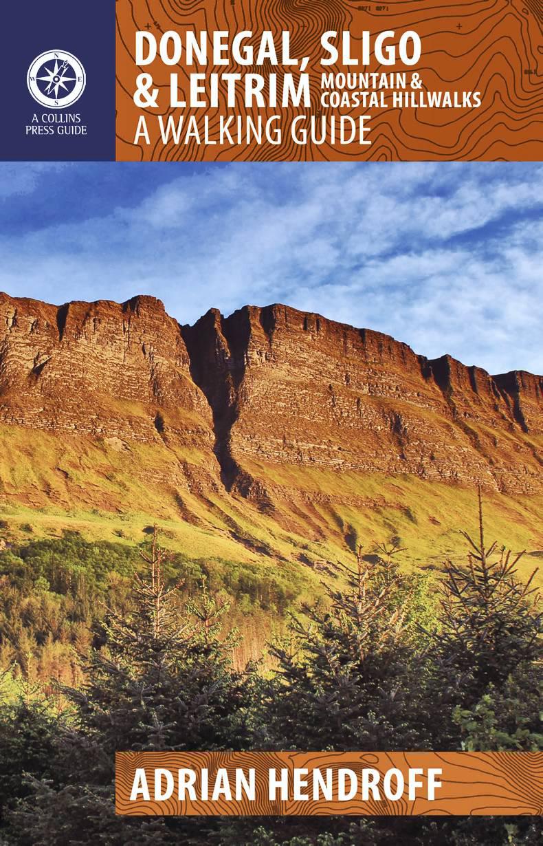
Edited extract from Donegal, Sligo & Leitrim – A Walking Guide by Adrian Hendroff, RRP €14.99, published by The Collins Press www.collinspress.ie
Grade: Easy
Distance: 4km/2.5 miles
Total Ascent: 200m/656ft
Time: 1.25 to 1.75 hours
Map: OSi Sheet 25
Start/finish: Large car park at the end of a lane at G 63699 33954 in the townland of Grange North, on the southeast side of Knocknarea.


SHARING OPTIONS