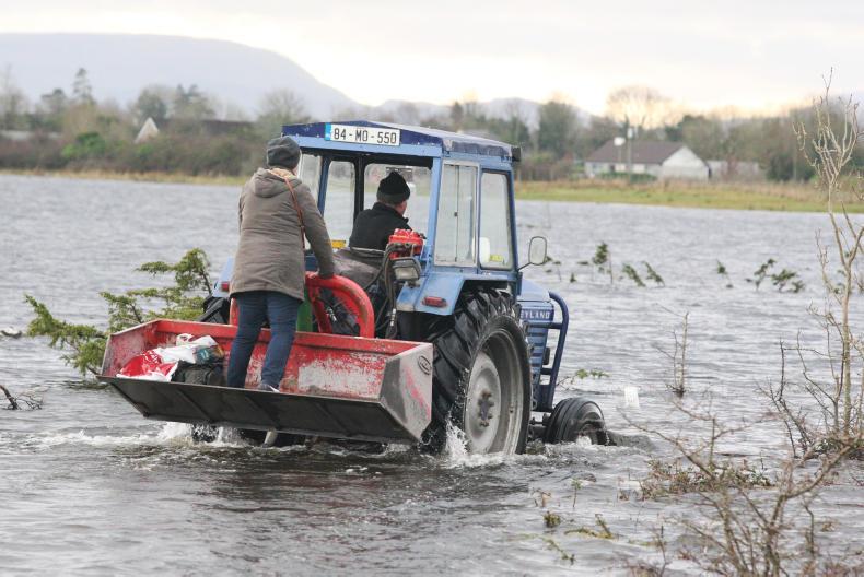
In a paper published in the journal Science, a group of scientists including Conor Murphy of Maynooth University analysed readings from 4,262 river monitoring stations in 38 European countries between 1960 and 2010.
"A warming climate is expected to have an impact on the magnitude and timing of river floods; however, no consistent large-scale climate change signal in observed flood magnitudes has been identified so far," they wrote. While causes for the size of floods can be difficult to identify because of the many factors involved, including the type of land use around rivers, the researchers wrote that their timing was more directly linked to the climate.
The data shows that some regions of Europe have seen river floods shift 65 days earlier over 50 years, especially where snow melt is the main source of flood water. In other areas, flooding has been delayed by 45 days.
East and west
The Shannon divides Ireland in two. Ulster and the east follow the pattern observed across southern England and the continent's Atlantic coast, where "earlier soil moisture maxima have led to earlier winter floods".
By contrast, observations in the west are similar to those in Scotland or Denmark, with the scientists commenting: "Later winter floods in catchments around the North Sea, for example, would lead to softer ground for spring farming operations, higher soil compaction, enhanced erosion, and direct crop damage, thereby reducing agricultural productivity."
Read more
Climate change will change the way we use our land
Full coverage: agriculture and climate change


 This is a subscriber-only article


SHARING OPTIONS: