

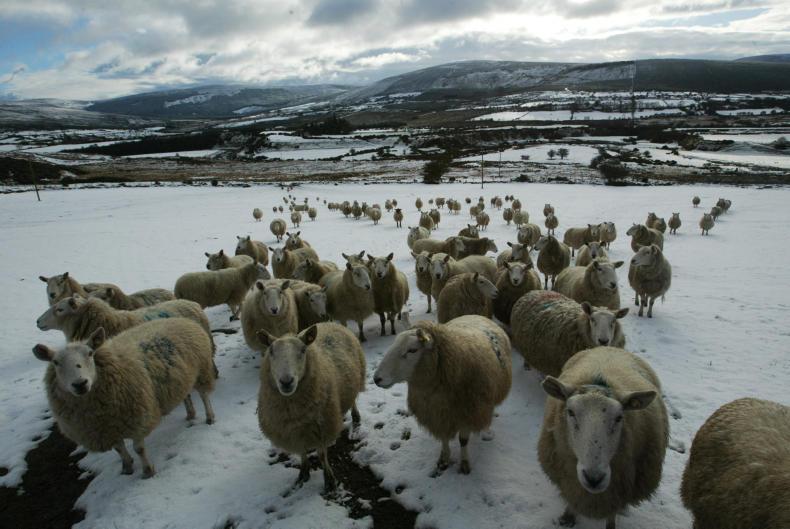
Monday will be cold and blustery with sunny spells and scattered showers, a mix of hail, sleet and snow on high ground, according to Met Éireann.
A yellow weather warning is in place for Connacht, Cavan and Donegal until 11am on Monday. It warns of wintry showers, bringing some accumulations of snow, especially on high ground.
There is also a risk of thunder, on Atlantic coasts. Showers will be isolated in the east and southeast where it will be largely dry. Highest temperatures will be 3°C to 6°C, in moderate to fresh and gusty south to southwest winds, strong on exposed coasts.
Monday night will be very cold, with clear spells and a widespread sharp frost. Blustery wintry showers continuing, with falls of hail, sleet and snow. Showers most frequent in the west, with lying snow possible.
Lowest temperatures of -1°C to +1°C are forecast, in fresh to strong and gusty west to southwest winds, with gales possible near the north coast.
Tuesday
Tuesday will be cold and blustery, with sunny spells and wintry showers, mainly in western areas. Showers will be a mix of rain, sleet and hail, with some snow on high ground. Lowest temperatures at night time will fall to between 1°C and 3°C, in moderate to fresh and gusty westerly winds.
Wednesday
Met Éireann has said it will turn less cold on Wednesday, with a mix of cloud and sunny spells. It will be generally dry, with some scattered outbreaks of rain, mainly in western and northern areas. Highest temperatures of 7°C to 10°C, in moderate southwesterly winds.
Wednesday night will be dry in most areas on Wednesday night, but rain will possibly affect south and southeast coastal areas.
Thursday
At this stage, Met Éireann is forecasting Thursday to be mostly dry with some sunny spells and just a few isolated showers, mainly in the northwest. The highest afternoon temperatures will be 9°C to 11°C, in light to moderate westerly winds, fresher along northwest coasts.


SHARING OPTIONS