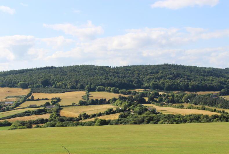
Just over a quarter of all land in the country is deemed suitable for a broad range of new forestry types, according to a new map published by the Department of Agriculture.
These 1.8m hectares of land are located mainly in the southern, eastern and midland counties in areas facing “no significant environmental designations” and with soil types indicating that trees will “grow satisfactorily”.
A further quarter of lands are suitable for only certain forest types owing to there being at least one environmental consideration ruling out a wider range of suitable forestry types, the Department stated.
Slightly below 1.8m hectares are included in this category of forestry suitability and these lands are deemed relevant to species including the hen harrier, pearl mussel and the golden plover or else to the attainment of high priority water quality objectives.

Forest opportunities map. / Department of Agriculture
Another 20% of lands, representing 1.4m hectares, are classed as only suitable for the establishment of nature conservation or amenity forestry, where appropriate.
These lands include those designated as Special Areas of Conservation (SAC), Special Protection Areas (SPA), Natural Heritage Areas (NHA) or national parks.
Field surveys examining how proposed afforestation sites may interact with the achievement of environmental objectives in these areas may be needed to determine whether nature conservation or amenity forestry plans can proceed in these areas.
Some 18% or 1.2m hectares of land is deemed too “unsuitable” and “unproductive” to be planted, with this category including hard surfaces and waterbodies.
Existing forestry already covers 776,223ha of land, equating to around one in every 9ac in the country.
The Department has said that its map accounts for the environmental legislation relevant to afforestation, aiming to “to guide and promote sustainable forest development”.
The map can be used by farmers and foresters to plan for planting “the right trees in the right places for the right reasons”, it said.
It is intended to provide “high-level national guidance on land suitability for afforestation, supporting the establishment of forests for various purposes”.
Just over a quarter of all land in the country is deemed suitable for a broad range of new forestry types, according to a new map published by the Department of Agriculture.
These 1.8m hectares of land are located mainly in the southern, eastern and midland counties in areas facing “no significant environmental designations” and with soil types indicating that trees will “grow satisfactorily”.
A further quarter of lands are suitable for only certain forest types owing to there being at least one environmental consideration ruling out a wider range of suitable forestry types, the Department stated.
Slightly below 1.8m hectares are included in this category of forestry suitability and these lands are deemed relevant to species including the hen harrier, pearl mussel and the golden plover or else to the attainment of high priority water quality objectives.
Forest opportunities map. / Department of Agriculture
Another 20% of lands, representing 1.4m hectares, are classed as only suitable for the establishment of nature conservation or amenity forestry, where appropriate.
These lands include those designated as Special Areas of Conservation (SAC), Special Protection Areas (SPA), Natural Heritage Areas (NHA) or national parks.
Field surveys examining how proposed afforestation sites may interact with the achievement of environmental objectives in these areas may be needed to determine whether nature conservation or amenity forestry plans can proceed in these areas.
Some 18% or 1.2m hectares of land is deemed too “unsuitable” and “unproductive” to be planted, with this category including hard surfaces and waterbodies.
Existing forestry already covers 776,223ha of land, equating to around one in every 9ac in the country.
The Department has said that its map accounts for the environmental legislation relevant to afforestation, aiming to “to guide and promote sustainable forest development”.
The map can be used by farmers and foresters to plan for planting “the right trees in the right places for the right reasons”, it said.
It is intended to provide “high-level national guidance on land suitability for afforestation, supporting the establishment of forests for various purposes”.


SHARING OPTIONS